---
On Thursday, the National Weather Service (NWS) alerted that more substantial rainfall is forecast for Puerto Rico and the United States Virgin Islands (USVI) over the coming days, due to a mix of troughs in the middle and upper atmospheric levels alongside elevated humidity brought in by a stationary front.
This scenario will establish optimal conditions for thunderstorms to occur, particularly from today until Saturday morning.
Forecasts indicated that the northern and eastern regions of Puerto Rico, as well as Vieques, Culebra, and the USVI, could experience rainfall totals of 3 to 4 inches, with some locations possibly receiving as much as 6 inches. Other areas are expected to see rainfall accumulations ranging from 1 to 3 inches.
Given the likelihood of sustained and heavy rainfall, a flash flood watch is expected to remain in effect until Saturday morning. The alert emphasized the risk of both flash flooding and river flooding, which may reach overflow levels, along with the potential for landslides in steep areas.
Additionally, a significant risk of dangerous marine conditions, including strong rip currents, was forecasted through at least the weekend. The NWS has issued a small craft advisory and a high surf alert through at least Friday afternoon for north-facing beaches in Puerto Rico.
Residents were encouraged to stay updated on the possible hazards of excessive rainfall and dangerous marine conditions via the NWS’s Experimental Graphical Hazard Weather Outlook, and to take safety measures in anticipation of flooding or rip currents at the beaches.
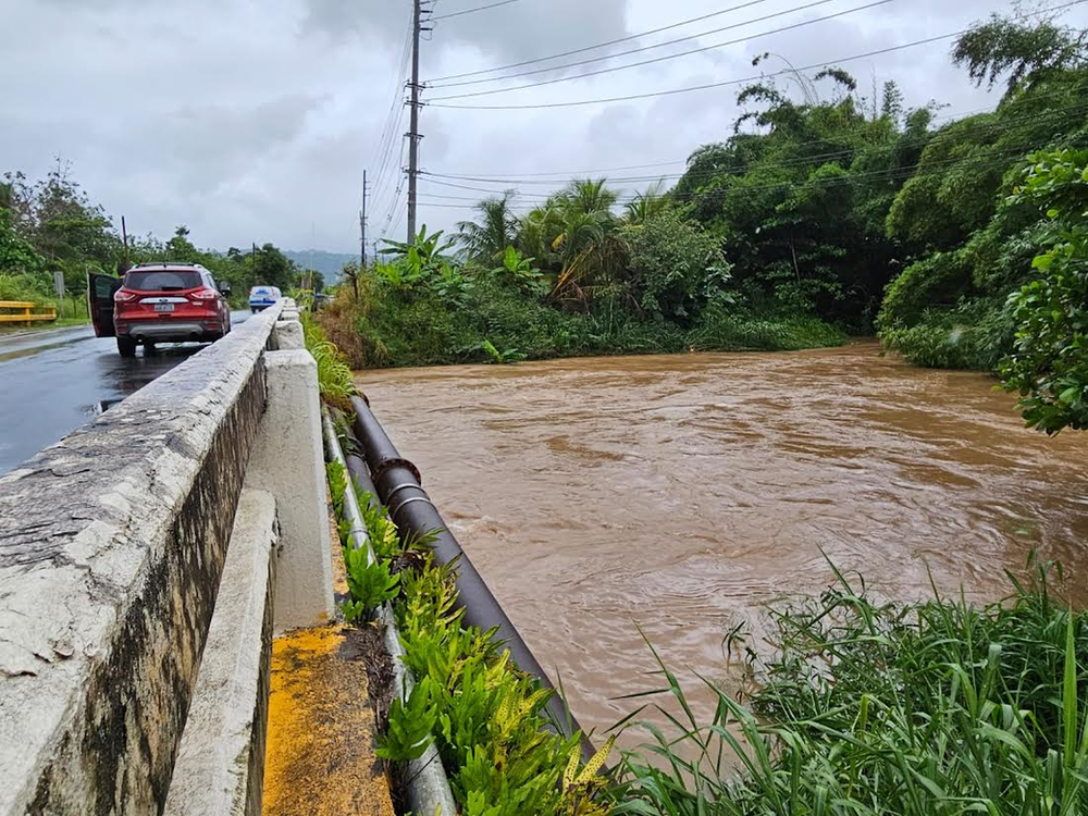
The extended rainfall warning was issued as the NWS declared several flood warnings for various regions of Puerto Rico on Thursday due to heavy rains produced by severe storms affecting much of the island.
The rainfall resulted in urban flooding and impacts on small streams, particularly in poorly drained areas and causing river and stream levels to rise.
In Humacao, rainfall accumulations of 3 to 5 inches were noted by midday Thursday, primarily in zones near Quebrada Los Muertos and neighborhoods like Urb Villa Oriente. Local officials relayed reports of flooding on highway PR-909.
In Maunabo, trained weather observers logged rain totals of 2 to 4 inches, with further rainfall of up to 3 inches anticipated. Regions like Emajagua, Playita, and Palo Seco were experiencing rising stream levels and potential road flooding due to saturated soil conditions.
For the Ceiba and Fajardo areas, the NWS upheld a flash flood warning through this morning. As much as 6 inches of rain has been recorded in some localities, impacting major routes including Lauro Piñeiro Avenue and PR-3 in places such as Roosevelt Gardens and Colonia Santa María.
In Yabucoa, rainfall accumulation reached up to 5 inches, affecting locations like Jardines de Yabucoa and segments of highways PR-901 and PR-3. Local authorities reported ongoing flooding in those areas and cautioned that the risk of flash flooding continues as long as the rain persists.
The NWS strongly advised residents in impacted areas to steer clear of flooded zones and adhere to directives from local authorities.
